How We Work
Unlike our land trust colleagues, VCS owns very little land outright. Instead, we view our role in land conservation on Martha’s Vineyard as that of facilitator: securing permanent protection of open space through the creation of conservation restrictions, or helping “position” a property for purchase by a land trust or public agency through legal advocacy, public outreach, and fundraising.
Below is a sampling of the many island farms, natural habitats, historic landmarks, and community treasures that VCS has worked to ensure will be forever protected and enjoyed by future generations. Click the photos to learn more about the conservation history of some of these amazing places.
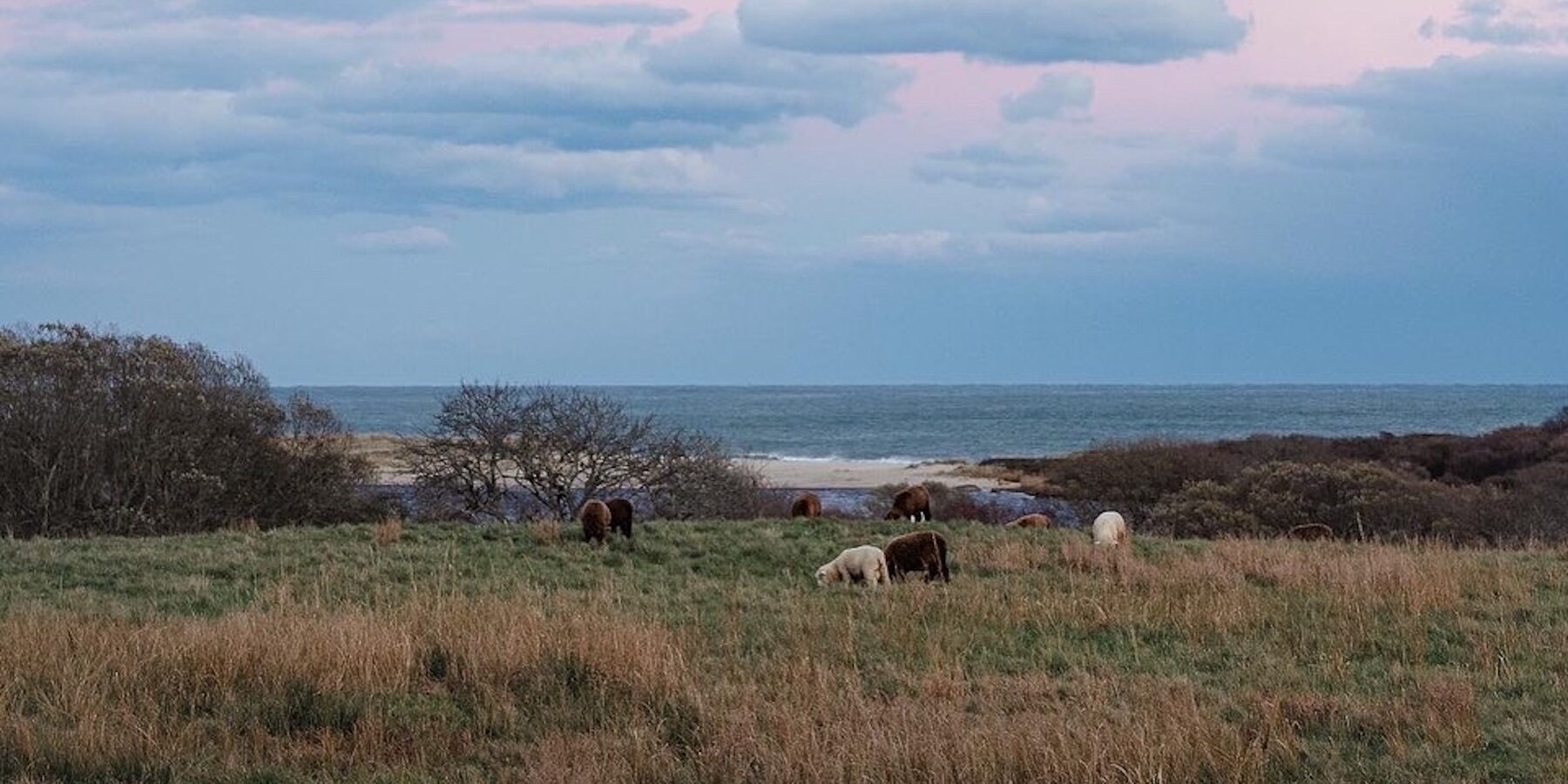
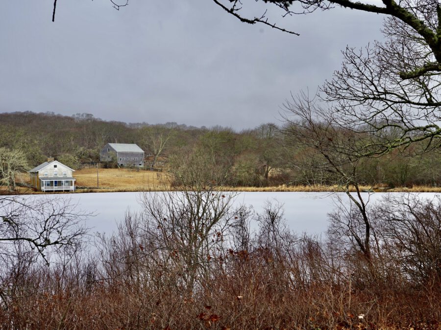
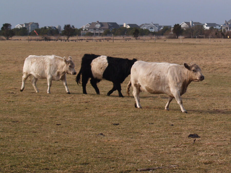
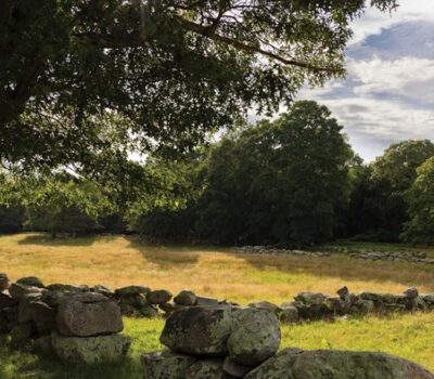
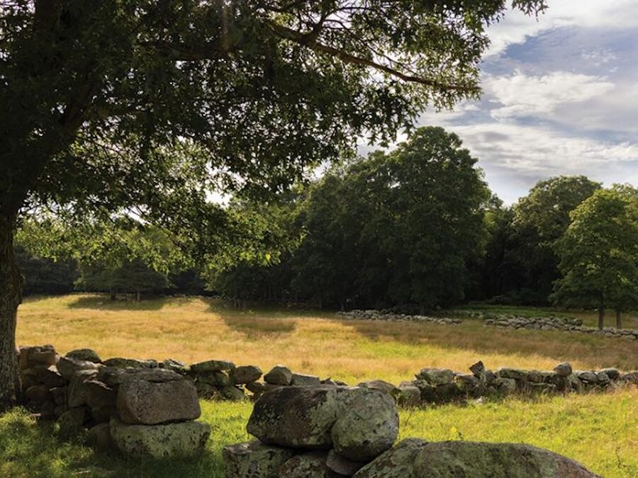
Allen Farm
Allen Farm
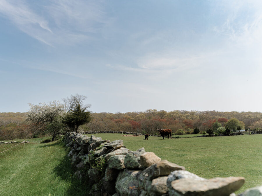
The magnificent vista of Chilmark Pond and the Atlantic Ocean across the Allen Farm Fields was permanently preserved with the help of the Vineyard Conservation Society. In 1991, VCS collaborated with the state and MV Land Bank to purchase the development rights on a critical 22.5-acre portion of the Farm. This was accomplished through raising $25,000 in donations, securing grant funding through the state scenic highway fund, and the creation of a 10-year installment purchase agreement.
It was the foresight and patience of owners Clarissa Allen and Mitchell Posin that allowed the complex package to take shape. They also donated back $100,000 of the appraised value of the development rights, and placed a conservation restriction (CR) on an additional 7.3 acres of the Farm. In 1995, with the help of VCS, Clarissa and Mitchell made an additional gift of a CR on 5.3 acres of the Farm, protecting wildlife habitat and more than 500 feet of the brook flowing into upper Chilmark Pond.
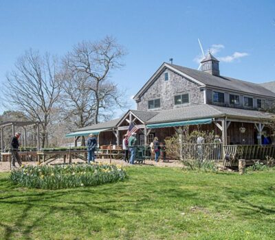
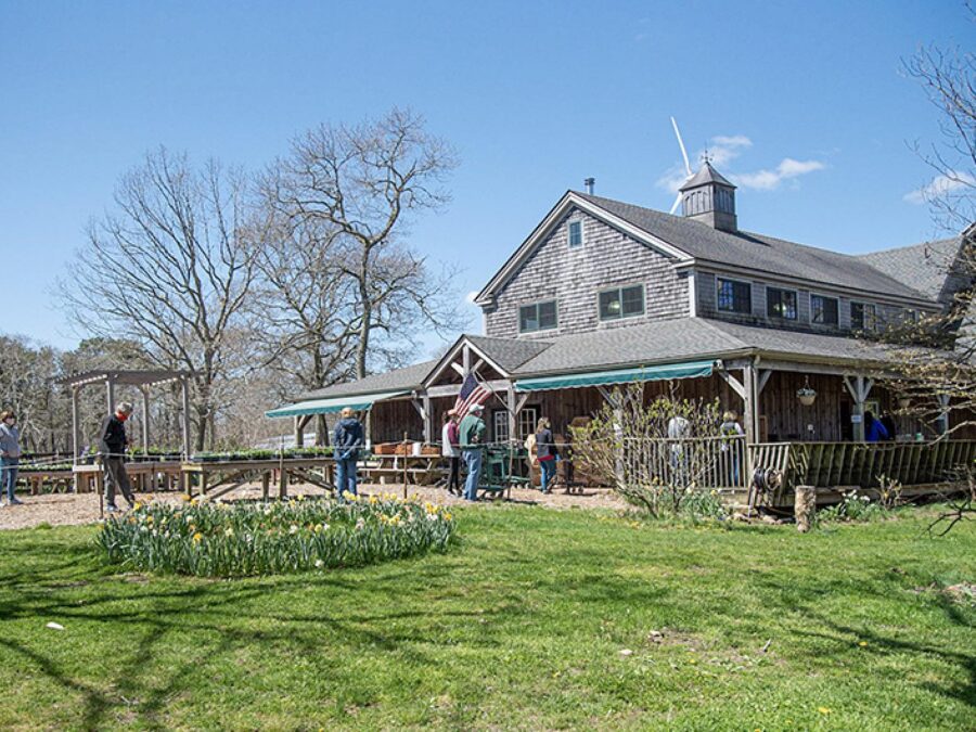
Brookside Farm
Flat Point Farm
Flat Point Farm
 ©
©
Saved at the last minute from a likely fate of residential development, the iconic Flat Point Farm will instead remain forever in agricultural use (and also feature public walking trails once they are completed). In March of 2013, the West Tisbury Selectmen voted to assign to the MV Land Bank the town’s right to purchase the 12.9 acre parcel located right on Tisbury Great Pond. The Land Bank completed the purchase in September of that year, after securing an agricultural restriction on the open fields on Flat Point.
Up to that point, things looked bleak for a successful conservation outcome at Flat Point. The Land Bank made it clear that it did not have the money to purchase the land. The landowners, the Fischer family, wrote an open letter to the community urging conservation groups “to pursue protecting Flat Point in its entirety,” and to “please contact the Vineyard Conservation Society…to voice your opinion.”
In its familiar role as facilitator, VCS joined with partners to try its best. The idea of finding one or more donors willing to extend a long-term loan to the Land Bank was favorably received, and revived hope for a Land Bank role. There were a few false starts, but after the critical intercession on the part of one Flat Point neighbor, Sam Look (then a member of the VCS board, now the staff), to another, Stephen Rattner, prospects brightened. Steve initiated what proved to be fruitful discussions with the Land Bank, and the result looks tremendously hopeful.
How did the opportunity to secure Flat Point for conservation occur? The 110-acre farm is enrolled in a program for agricultural lands, provided for under Massachusetts General Laws Ch. 61A, that provides property tax benefits but not permanent conservation status. The Ch. 61 statute requires town notification of any planned sale and, for a period of 120 days from the date of notification, gives the town a first-refusal option to meet the offer to purchase. Importantly, the town may assign its option to a private conservation group or to a public conservation entity like the Land Bank.
Faced with the need to sell some of the farm to settle estate obligations, the family entered into a contract for sale of a small parcel – approved for residential development – on the Point for $2.9 million. With the clock ticking on the town’s 120-day (assignable) option, great effort was expended to bring a guarantor to the table that could help bring this property into permanent conservation. Once financing was in place, the Land Bank was able to step up as a buyer.
Frances Newhall Woods Preserve
Frances Newhall Woods Preserve
History compiled by Marianne Jorgensen for VCS from sources including the Woods family, William Stewart, Brendan O’Neill, and others.
In 1928, Frances Newhall Woods had bought her own home — the ice house on North Road that had belonged to Seven Gates Farm when it was a dairy. Situated in a tranquil spot above Fisher Pond, the family named it “The Retreat”. In 1982, Edwin Newhall (“Bob”) Woods made his first gift to the town: Brandy Brow Hill, the overlook at the intersection of State Road and the West Tisbury-Edgartown Road. His mother, Frances Newhall Woods, had bought the property in 1928 and built a memorial there to her sister Virginia, who died at the age of 24, and to her mother, Virginia Whiting Newhall, the daughter of West Tisbury patriarch Henry L. Whiting (1821 – 1897).
In 1991 Mr. Woods and his family donated a conservation restriction on 511.7 acres of woods, fields, and brook that Bob Woods had inherited from his mother. The restrictions have assured that the land will remain forever wild. Bounded by Middle Road, North Road, the Panhandle, and extending over the town line to include 12.7 acres in Chilmark, the Frances Newhall Woods Nature and Wildlife Preserve is today owned by the Nature Conservancy with the Conservation Restriction held by the Vineyard Conservation Society.
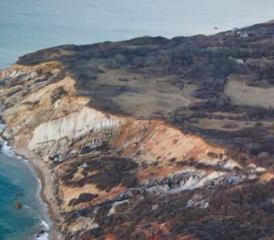
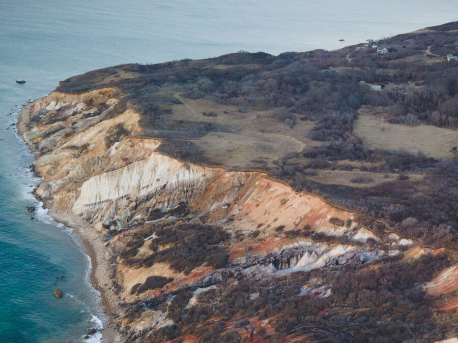
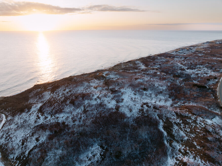
Gay Head Cliffs
Katama Farm
Katama Farm
Starting in 1977, the Vineyard Conservation Society helped facilitate a partnership among the town and the state to permanently protect more than 160 acres of the Great Plains at Katama Farm. The flat, stone-free soils had been farmed for generations, including a thriving Ayrshire dairy herd of 125 head owned by Elisha Smith in the 1950’s and 60’s. In recent years, the town has leased the farm to a variety of agricultural interests, and today, the FARM institute makes Katama Farm its home.
Though the farm is now quite well-known due to the popularity of the FARM Institute, most of its current visitors are likely unaware of the unusual history of this special place. The Farm’s southeast field once hosted a turnabout for the narrow-gauge Martha’s Vineyard Railroad, which for a short time between 1874 and 1896 linked Oak Bluffs and Edgartown. Today, embankments and cuts remain, testifying to this earlier land use.
During the 1920s, and again in the 1970s, hundreds of building lots on the property were subdivided – but on paper only. That development fate was avoided through the work (begun in 1977) of a dedicated group of town and conservation leaders.
After much planning and fundraising, VCS took title to the Farm in 1978 and re-conveyed to the town 162 of the 220 acres, restricted to agricultural and conservation uses. An additional 24.3 acres (including the barn) were conveyed for other town uses. Clustered development planning for the remaining land, done by the Vineyard Open Land Foundation, generated proceeds to reimburse the town for its share of the grant that launched the conservation success.
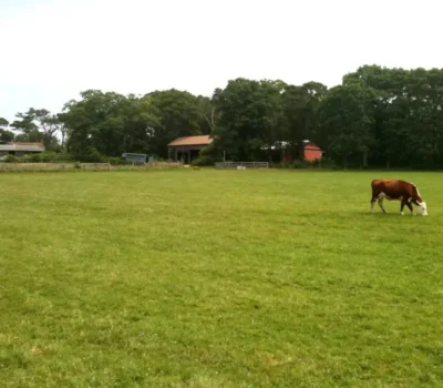
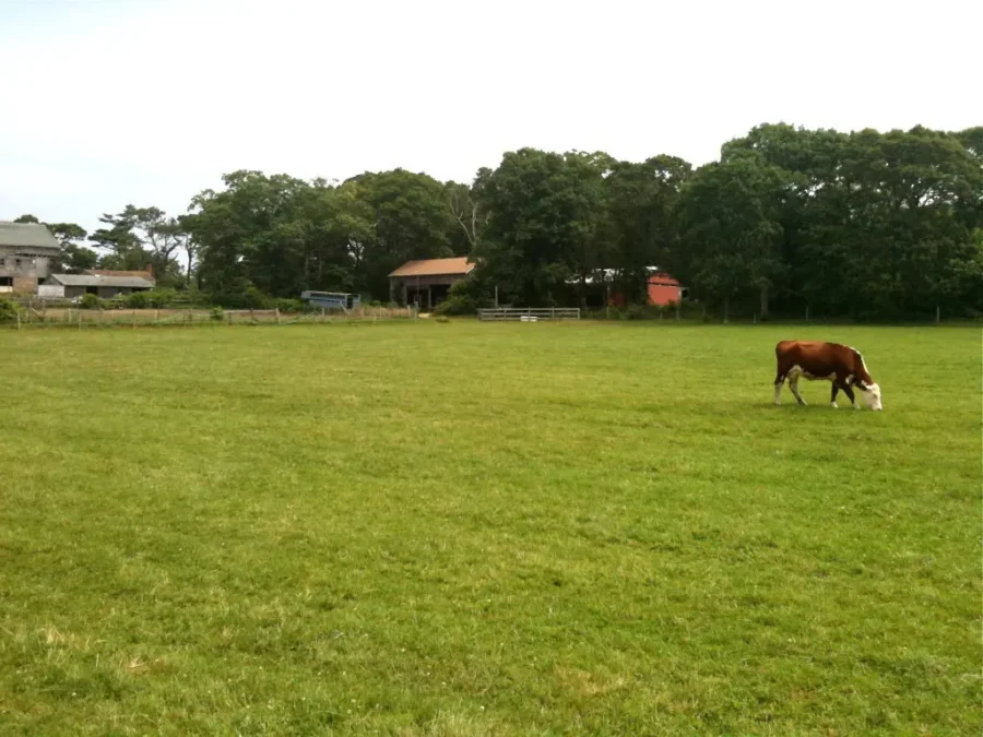
Mermaid Farm
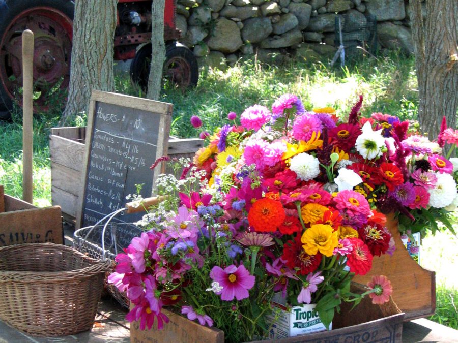

Native Earth Teaching Farm
Native Earth Teaching Farm
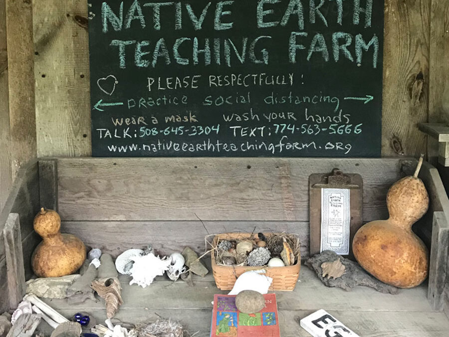
Native Earth Teaching Farm is an historic 35-acres of woods, streams, pastures, and farm fields located on North Road in Chilmark which once belonged to legendary whaler and storyteller Cap’n George Fred Tilton. In the late 1920s, this land was purchased by James Gilbert, and in recent years has been farmed by Rebecca Gilbert and Randy Ben David. The farm forms a strategic link in a greenbelt of open space protecting the Mill Brook and Paint Mill Brook watersheds in Chilmark and West Tisbury.
Today, Native Earth is run by Rebecca and Randy as a farm education center involving teachers and school children in educational programs, sharing the message of sustainable agriculture with the public, offering community garden programs, and promoting the notion of buying locally. The Vineyard Conservation Society worked successfully with the owners to purchase the development rights to the farm in 2005, resulting in a conservation restriction (CR) held by the Sheriff’s Meadow Foundation.

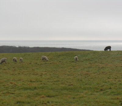
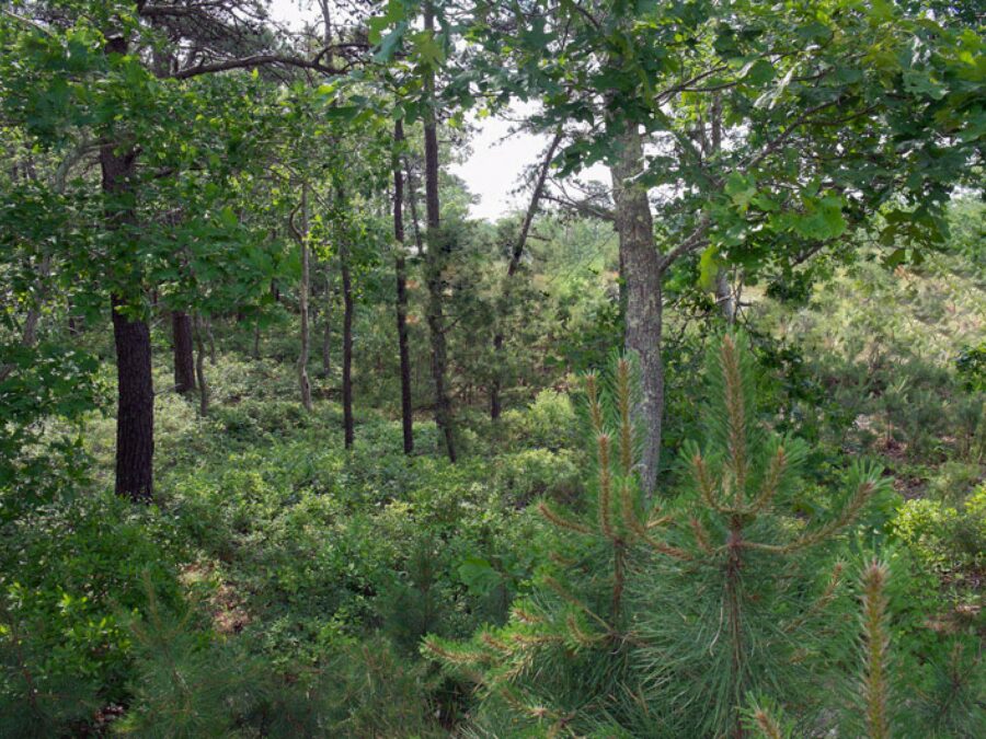
Moshup Trail Heathlands
Moshup Trail Heathlands
Beyond the cliffs stretches the expanse of Moshup Trail, a wind-blasted, salt-spray-stunted, drought-prone place. Traveling along the Trail, one experiences the wildness of this largely unspoiled landscape. Its open moors are recognized as an exceptionally rare type of habitat called the Northeast Coastal Heathlands, home to species adapted to, and molded by, the prevailing harsh conditions. They include the spotted turtle, Nantucket shadbush, dragon’s mouth orchid, the northern harrier hawk, and a diversity of invertebrate species. Ecologists call Moshup Trail the most significant unprotected, undeveloped habitat in the New England region.
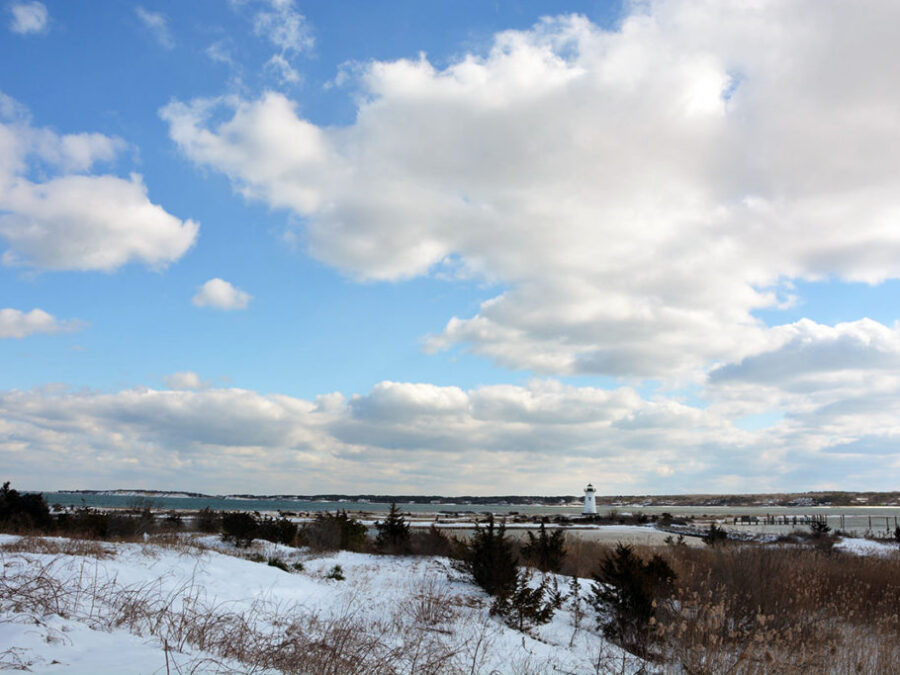
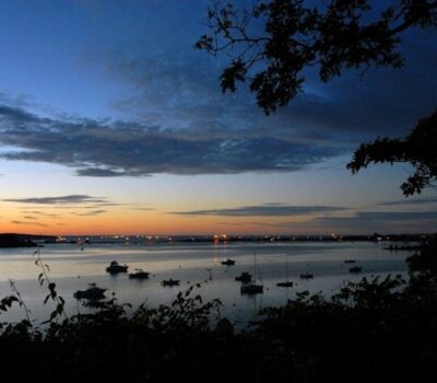
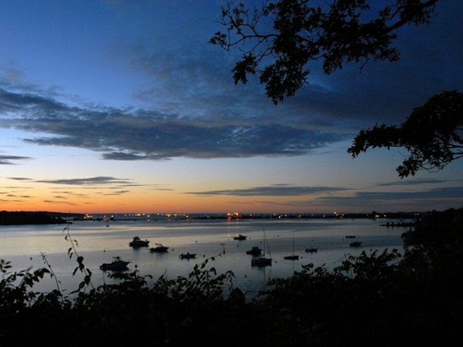
Eastville Beach
Eastville Beach
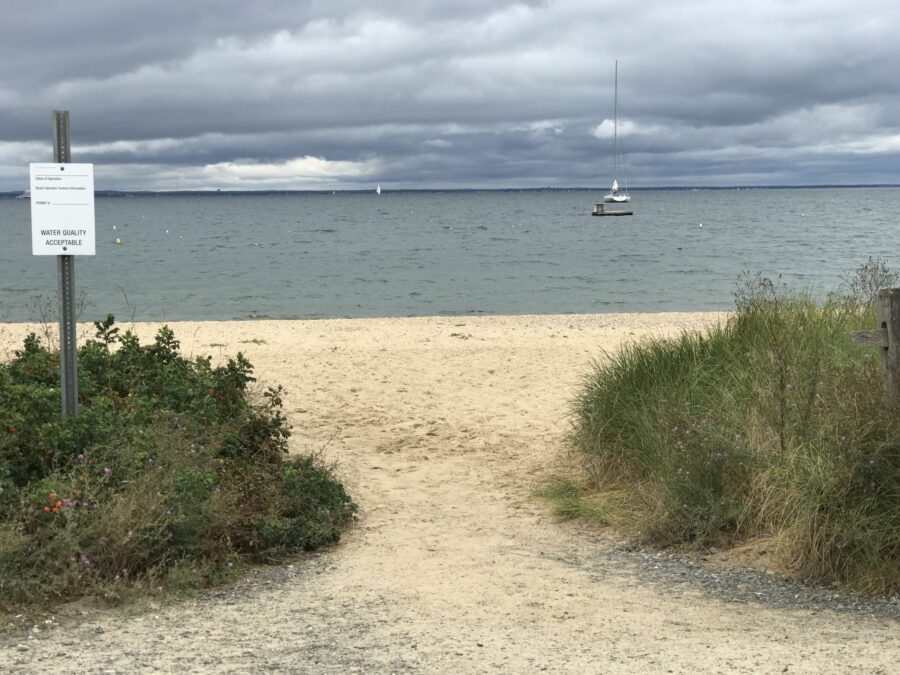
VCS began efforts to conserve the beach at the Eastville jetties in 1975. Two years later, the Convery and Young families gifted to us their two-thirds interest in the promontory. VCS transferred that interest (consisting of 5.25 acres with 900 feet of beach) to the County of Dukes County. The County then secured a grant from the federal Land and Water Conservation Fund for the project, including funding to acquire an additional one-acre abutting parcel owned by another member of the Convery family. This phase of the project was five years in the making.
VCS then returned to Oak Bluffs (having been rebuffed earlier) to partner on a grant request from the state Executive Office of Environmental Affairs Self-Help Program to conserve the one-acre parcel. The town agreed to participate in the grant, with VCS agreeing to supply 20% of the funding with the state providing the rest. The outcome was successful, with Oak Bluffs left owning the small parcel, and VCS privately raising the required matching funds.
The formal dedication took place a full ten years after the launch of the project. Today, the Eastville Beach Recreational Area consists of a total of 6 acres, with 1,700 feet of beach conserved, managed jointly by the County and the Town of Oak Bluffs.
Edgartown Harbor Wetlands & Lighthouse Beach
Edgartown Harbor Wetlands & Lighthouse Beach
Lighthouse Beach as we know it today is a rather recent creation, involving both Mother Nature and the hard work of her most successful invasive species. The lighthouse, originally built in 1828 (and replaced after the 1938 Hurricane, more detail below), was a lone beacon surrounded by water, accessed via a long elevated boardwalk. But over time, the coastal current deposited sediment around Little Beach, eventually filling the area around the lighthouse and creating a small tidal salt marsh.
Never ones to miss a golden opportunity, business partners Bob Carroll and State Senator Allen Jones, then-owners of the Harbor View Hotel, as well as 3 acres of this newly created real estate, proposed filling a portion of the wetland to accommodate the construction of two new houses and a tennis court.
On July 27, 1974, Governor Francis Sargent signed legislation creating a regional planning agency, the Martha’s Vineyard Commission. The MVC held its first meeting on December 5, 1974.
In May, 1976, less than a year-and-a-half following the creation of the MVC, the developers approached the town selectmen for endorsement of the project. Like a microcosm of state vs federal clashes nationally, the action set the stage for a Vineyard constitutional crisis of sorts between local and regional authority.
Today, at the first indication that a proposal is a Development of Regional Impact (DRI), all local approval action ceases. Clocks for deadlines “toll,” and a local board referral is made to the MVC to take action prior to any permit granting by the town. However, in this early challenge to our regional planning agency’s authority, the building permits were signed in Edgartown. But, because the permits still needed to be reviewed by another local entity, the Planning Board, they were not immediately delivered to the developers. It was there that the anti-MVC ranks were broken. Recognizing the regional nature of the proposal, the Planning Board courageously referred it to the Commission. The MVC disapproved the subdivision plan, ruling that the benefits failed to outweigh the detriments – including the fact that it would cause irreversible environmental damage.
Foreshadowing the hardball tactics to come, Carroll and Jones did not bother to appeal the MVC’s decision, choosing instead to simply ignore it. With a political wave building to withdraw the town from the Commission, the developers sought permits from the state’s wetlands protection authorities to fill the salt marsh and develop the site. A year and a half later, Edgartown indeed left the MVC following a referendum vote. Then in 1979, the state wetland authorities ruled that the project could proceed.
Immediately, work began to fill one quarter acre of wetlands with 6,500 cubic yards of land fill. Soon thereafter, the federal Army Corps of Engineers issued a cease-and-desist order under the Clean Water Act, requiring the developers to secure permission to deposit additional fill, or even to allow the fill they had already placed to remain. The developers were reminded that the Corps had sent a letter some months earlier explaining the federal requirements. Carroll and Jones’ response was to say they didn’t get the letter.
The subsequent hearing on the permit requested from the Army Corps revealed public outrage over the project. Weighing in on one side were testimony from VCS and colleagues, 259 letters of objection, and a petition containing hundreds of signatures. A single letter in support was also received.
Despite this, the Army Corps of Engineers issued the dredge and fill permit in 1981. So, onward it went to federal court, where VCS submitted a (“friend of the court”) brief in support of environmental protection of the wetland. In 1982, the court sided with the environment, ruling that the Army Corps failed to comply with EPA guidelines (and its own regulations), and failed to demonstrate that there were no feasible alternatives to the proposed project. The court also ruled that defendants violated the National Historic Preservation Act by failing to include the Edgartown lighthouse in their assessment of the proposed project’s impacts on historic values. But the case was not truly settled; the federal court instead remanded the matter to the Army Corps for further review.
Two years later, town benefactor Fairleigh Dickinson, Jr. made possible a compromise solution: the wetlands and view of the harbor were conserved, with the developers receiving another property in town as part of a swap. To their credit, they then conveyed that land to the Edgartown Council on Aging, where it would become a center for elderly programs named “The Anchors.”
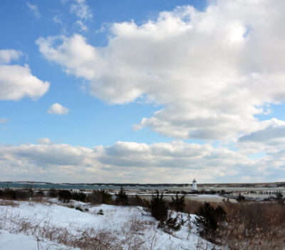
Edgartown Lighthouse History
The original Edgartown lighthouse dates to 1828, but the structure sustained massive damage in the 1938 Hurricane and was torn down the following year by the U.S. Coast Guard. It was never rebuilt, strictly speaking. Rather, it was replaced by dismantling the Ipswich Range Light (from Crane Beach, north of Boston), and sending it by barge all the way to Edgartown Harbor.
That 45-foot cast-iron structure was originally built in 1881. It was refurbished in 1985 by the Coast Guard, and in 1990, solar-powered plastic optics were installed. The lease of the tower was transferred to the Dukes County Historical Society (today the MV Museum) in 1994, and a children’s memorial was established there in 2001.
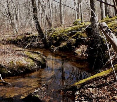
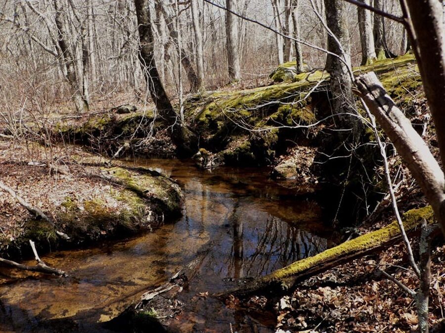
Mill Brook Watershed

Katama Airfield
Katama Airfield
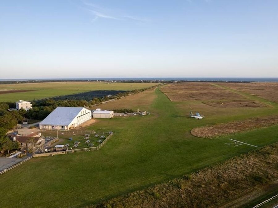
During the Second World War, the U.S. military took by eminent domain one square mile of the State Forest in the center of the Island to establish a naval air station. They also made use of a small grass-strip airfield at Katama located near a gunnery practice area established at South Beach. The former pastureland had been used continuously since 1924 as an airfield. In 1944 the airfield was purchased by Steven Gentle, who ran it as the Katama Airpark.
In 1979, the Vineyard Conservation Society successfully partnered with the town and state to conserve the 220-acre Katama Farm. The next year, Edgartown leader Bob Morgan approached the committee assembled to work on the Katama project to direct its attention to the abutting Katama Airfield, a 190-acre parcel containing unique sandplain grassland habitat, important to more than a dozen rare plant and animal species. Ecologists referred to the Katama habitat as “something of a living museum; a kind of Galapagos.”
The shared goal of VCS and colleagues was to protect the wildlife habitat, fend off the potential development of 120 units of housing allowable under existing zoning, and create a block of contiguous public open space including Katama Farm and the state-owned South Beach.
In the public eye, the initiative became a “Race to Save the Coastal Heathlands.”
In 1981, VCS secured a 12 month option from the Gentle family to purchase the airfield for $1 million. The option expired before it could be exercised, but momentum for conservation was building.
In September 1982, a report on the ecological significance of the airpark was prepared by the Natural Heritage Program of the state Division of Fisheries and Wildlife. Based on its findings, the Nature Conservancy (TNC) became a partner in the effort in 1983. TNC agreed to facilitate the purchase negotiations and take title, with an eye to eventually transferring ownership to the town, while retaining a management right.
But the goalposts continued to move as land prices on the Vineyard spiraled upward and the price for the Gentle family interest went to $1.575 million. The purchase price for two other smaller interests totaling 68 acres owned by the Nickersons and Atwoods added an additional $1.8835 million, for a total project cost of $2.8835 million plus soft costs.
The conservation team prepared an application in partnership with the Town of Edgartown for a grant from the state Self-Help Program, funded through the Division of Conservation Services of the Executive Office of Environmental Affairs (EOEA). The program required financial “match” from town voters of one-third the grant.
In early 1984, EOEA awarded the town a $1.5 million grant towards purchase of 190-acres of airpark land, including 128 acres constituting the airfield itself. But the conservation team needed to return to EOEA for additional funds, eventually securing the largest total Self Help grant to date, totaling 1.85 million. The town’s match was $625,000.
In January of 1985, TNC put $1.575 million into an escrow account to secure the 123-acre Gentle parcel, using a combination of grants and loans from the R.K. Mellon Foundation and the Goodhill Foundation.
Still, the gap needed to be covered by private fundraising was wide, some $408,500.
In August of 1985, VCS presented to TNC a $20,000 check on behalf of the Katama working committee, and in November of 1986 presented an additional $60,000. During that time, an aggressive campaign aimed at abutters and pilots who use the airfield pushed the project over the top.
In the final arrangement, TNC conveyed the Gentle parcel to the town, with some cost recovery from the Self-Help dollars awarded to the town. The town then granted TNC a conservation restriction (CR) on the parcel. The town also purchased outright the Nickerson and Atwood parcels, totaling 68 acres. The Katama Plains Conservation Area (KPCA), totaling 190 acres, was officially dedicated in 1987.
Later that year, TNC prepared the first of the Stewardship Management reports for the airfield, including the recommendation that prescribed use of fire be used to maintain the open character of the habitat.
Morning Glory Farm
Morning Glory Farm
 © Jeanna Shepard
In the early 1980s, VCS launched a major conservation project at what is today Morning Glory Farm. The goal was the preservation of working farmland and the scenic roadside vista at the approach to Edgartown. The specific strategy was to assemble a financing package to purchase a permanent agricultural restriction on 18.3 acres of fields fronting the Edgartown/West Tisbury Road.
This was ultimately accomplished through a partnership of many stakeholders, including: the landowners, who agreed to sell their development rights at a bargain price for conservation purposes; the state, who awarded grant funds for the Agricultural Preservation Restriction (APR); the town of Edgartown, who voted to supplement the APR grant; VCS, who helped raise more private funds from the community; and finally, then tenant-farmers Jim and Debbie Athearn, who subsequently purchased the land.
The result was a tremendous success, broader than the original goal of preserving a farm field and scenic vista. Today, Morning Glory Farm is a successful family-run business, and a leader in the local agriculture movement on Martha’s Vineyard. Ripple effects of the project include impacts on additional land conservation nearby, such as the Land Bank purchases at Ben Toms Preserve and Sweetened Water Preserve.
Nip ‘n’ Tuck Farm
Nip ‘n’ Tuck Farm
Located in the heart of West Tisbury on State Road, Fred Fisher’s Nip ‘n’ Tuck Farm is one of the Island’s true landmarks. In 1985 and 1986, the Vineyard Conservation Society coordinated the drive to raise the community’s share of the funding package to acquire an agricultural preservation restriction (APR) on the farm’s 54 acres.
The successful campaign included contributions from over 350 Islanders and a series of public events, culminating in a “Farm Day” open house at Nip ‘n’ Tuck. The result is the preservation of an important part of the agricultural identity of the town, the chance for a family farm to endure, and the permanent protection of one of the Island’s priceless roadside vistas.
Today, Fred Jr. raises dairy cows and continues to bottle fresh milk. Young would-be farmers have always been welcome to apprentice at the farm, and local children and their parents have enjoyed pony rides, hay rides at the holidays, and introduction to the farm animals and the farming way of life.
Sailing Camp Park
Sailing Camp Park
Oak Bluff’s Sailing Camp Park, purchased by the Town in 1983, represents 15 acres of conservation land including woods, beach, and scenic views of Lagoon Pond and the Vineyard Haven harbor. It is open to the public from dawn to dusk.
Operated as a summer sailing camp by the Patriot’s Trail Girl Scout Council since the 1930s, the land came to be on the market when the camp was closed in 1981. For about two years, VCS and the Vineyard Open Land Foundation worked to keep alive the option for purchase by the Town, giving them time to secure funding. The alternative could have been private development of up to 40 houses –- putting further pressure on the Lagoon, which was already showing signs of excessive nitrogen from septic systems.
For more on the history of the project, see the excerpts below, taken from our 1981 and 1982 newsletters.

Polly Hill Arboretum

Southern Woodlands
Southern Woodlands
 © Mark Alan Lovewell
Long recognized as an important interior woodland – habitat harboring a variety of species that depend on large, contiguous swaths of forest to survive – the Oak Bluffs Southern Woodlands is also a testament to the unique role of VCS in land use advocacy on Martha’s Vineyard.
Over twenty-five years ago, VCS raised concerns with the town about title problems on parcels within the Southern Woodlands that were long thought to be town conservation land. Mapping and other research suggested that some parcels were vulnerable.
Indeed, within a few years, a resourceful developer began to exploit the bad title opportunities. With storm clouds gathering, VCS led a campaign at the level of the town and MV Commission to nominate and pass special planning regulations – to create the Southern Woodlands District of Critical Planning Concern (DCPC). Shortly thereafter, a plan to develop a private golf course on nearly 300 acres of the Woodlands was unveiled – a plan that included portions of the purportedly conserved town lands.
In a formative chapter of what would come to be known as that era’s “Golf Wars,” VCS teamed up with a new citizen’s group named Coalition for the Preservation of Island Resources (CPIR) and fought a long battle to defeat the development proposal. We testified at the MV Commission about the serious impacts on habitat and water quality that would result from building a golf course on land encompassing both the Lagoon Pond and Sengekontacket watersheds.
For this, we incurred the wrath of the developer in the form of subpoenas for depositions, excessive document demands, and attacks on our board members. These tactics – typically employed to chill the exercise of free speech and wear down an opponent – were rebuffed, but they did achieve the intended effect of draining time and resources over a several year period.
During that time, the MV Commission denied three different versions of the developer’s proposal. In reaction, supporters of the development attempted to use legislative means to withdraw the town from the jurisdiction of the Commission. CPIR and the voters of Oak Bluffs rose up, defeating those efforts at town meeting.
With their efforts at pulling Oak Bluffs out of the MVC rebuffed, the developers tried one more retaliatory tactic: ignore the legal decisions and just do it. A public announcement was made that the entire property was to be clear-cut immediately, and the work began. That act triggered the first-ever cease and desist order from the state Natural Heritage and Endangered Species Program – delivered by certified mail, and nailed to a tree at the woodlands for good measure.
Finally, after a five year battle (and over ten years after we first raised concerns about the potential for development), nearly 200 acres of the Southern Woodlands was acquired by the MV Land Bank for conservation purposes at a cost of $18,620,000.
The battle for the future of the Southern Woodlands was pivotal in the history of land use on Martha’s Vineyard. Defeat of the golf course proposal (and resulting permanent protection of the land) marked the end to that particular wave of private golf course development plans – four proposals on different properties within a five year period. During that time, VCS consistently went on record opposing golf course proliferation. Our rationale was twofold: golf courses destroy habitat and impair water quality in our ponds, but they also send an unmistakable “green light” – signaling a type of land use that is inconsistent with the character of the Island. So far, that view has prevailed.
Waskosims Rock
Waskosims Rock
 © Lexi Van Valkenburgh
In 1986, a developer purchased 145 acres of pristine, unspoiled land situated along the town line of Chilmark and West Tisbury, with the intent to subdivide the land to the maximum extent. In 1990, the property was purchased by the MV Land Bank for $3.5 million, and their ensuing stewardship of the Waskosims Rock Reservation has provided decades of nature recreation for the public.
But despite this seemingly tidy resolution, conservation victories on the Vineyard are rarely simple (and never easy). In fact, the Waskosims story illustrates well two key attributes of VCS’s land protection work – persistence and partnership. Most conservation “saves” are years in the making, and many require the cooperation of multiple organizations with different strengths, abilities, and priorities.
Based on documents uncovered by VCS, the developer’s right to access the planned subdivision through Sheriff’s Meadow’s Roth Woodlands was challenged in a lawsuit brought by neighbors (and supported by SMF). This bought time for VCS to conduct ecological inventories on the property, which countered the developer’s description of an unremarkable natural habitat. Rich biological diversity, including the endangered Cranefly Orchid was revealed – making the property a State conservation priority as well. With momentum building, VCS worked quickly with homeowners to record ten conservation restrictions along Tea Lane to thwart the threat of access road improvements from that direction.
With VCS urging, in 1988 the Martha’s Vineyard Commission agreed to put strong restrictions on the area, empowering the towns and MVC to reject all 17 subdivision plans – no small act of courage, and one that left them vulnerable to their own lawsuits from the developer.
In addition to ecological and legal findings, VCS research also uncovered what would become an important piece of Vineyard trivia. One “neighborhood amenity” of the planned subdivision, around which a new road would be built, already had a history and a name: “Waskosims Rock.”